 Wednesday, 8 August, 2012
The day started out well enough.
I headed west from Karlsruhe and picked up the thin band of parkland that I had followed coming into town the day previously, criss-crossing the small river and picking up signs for the Rhine Cycle route.
This brought me to a nature reserve like a delta of lakes, small chanels of water and trails running in all directions. The problem was the bike trail is not very well signed here, and on reaching points where the trail was not signed at all it left me with little option other than to guess.
This led to a lot of backtracking and frustration.
After 3 hours I eventually spotted a sign for what should have been my first destination of the day, Speyer which was 25km away. Given the amount of time I’d been cycling I initially thought I must have gone 25km past it, but no, I was basically only about 15km into my intended journey because of all the difficulties following the route.
The next 10km were no problem, taking me to Lingenfield which was in theory about 11km from Speyer, however every cycle or road route I tried just kept looping me back in to the village 30mins later. After 3 attempts like that and in utter frustration, I almost bought a map.
Well at least I tried, however the outdoors shop didn’t sell them.
However the owner did explain why I was having so much trouble. The bike route is in the process of being re-routed because of some closed roads and to make it more scenic (i.e. longer) which means that may of the signs are missing or wrong.
So even with a map I would not have stood much chance, but he directed me out of town where a couple of kms later I picked up the new ‘scenic’ route, another 18km into Speyer arriving a full 6 hours after setting out from Karlsruhe. I had covered an official distance of about 35km, but must have cycled at least 75km in the process.
I had also realised that my directions from mission control were a mixture of locations on each side of the Rhine, on two different bike routes. So I decided to stick to the left bank, just using the bike route signs and to see how far I could get.
Along the way I met and chatted to another cyclist called Frederick who had exactly the same route issues around Lingenfield.
So it wasn’t just me.
From here it was easier, and I made 60km of relatively quick progress to Ludwigshafen and then Worms for my ice-cream stop at 6.45pm. I was tempted to stop here, but saw then the next location of Gernshiem was only another 24km, so figured it was worth a go.
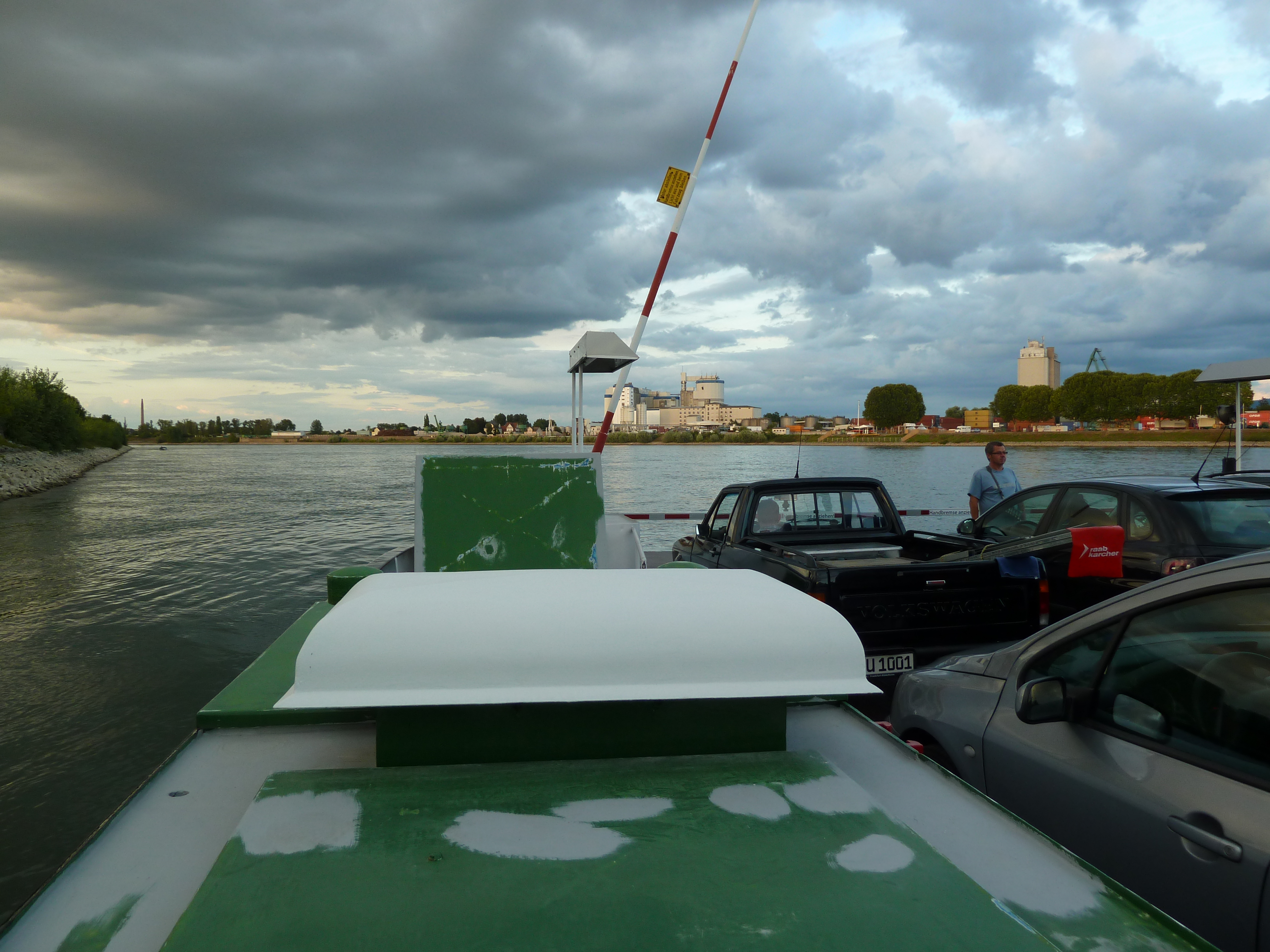
I made it to ‘Gernsheim’ by 8pm to find what is known as a NATO ramp on the bank of the Rhine, with the town on the other side. I was stuck out in the middle of nowhere, so caught the next ferry over.
At which point I found my situation immediately worsened.
I could find nowhere to stay in Gernsheim and to be honest didn’t really want to from the look of it. There was only one thing to do, pick up the cycle track on the other side and ride until I did find somewhere.
For the next hour I cycled through open countryside and forest, eventually having to put lights on the bike in order to see where I was going. It was exciting stuff, and reminded me of the time Mel and I got stuck in the cloud forest on Mt Fuji.
In other words it was getting a bit scary.
When I eventually came to another village at 9.45pm it was time to make a more concerted effort to find lodgings. Of course there were none in the village, but I managed to recruit a teenager on roller blades (who was seemingly out having a crafty fag) to guide me to the next town of Goddelau where there was a hotel.
I hoped the unexpected exercise would offset the smoking, but in reality he probably just had another cigarette on the way home.
I just managed to persuade the kitchen to stay open, and at 10.30pm settled down to a steak dinner and a couple of Grosse Biers.
Tomorrow I will study the map more closely before setting off.
Statistics:
Distance, 165km (est), vs route distance of 125km
Time, 14hrs (13hrs ride time)
Total distance so far, 932kms
(it is going to be a lot more than 1320kms by the time I’m done)
Footnote:
This was the day that was almost so much worse.
When I reached the hotel and tried to check in I couldn’t find my wallet. I searched and searched and searched again through both panniers but it was nowhere.
I eventually found it resting on top of my luggage rack, completely unsecured and realised it had been there the whole time since I stopped to fit lights to my bike before cycling through the forest.
I’d been rushing to fit the lights because I was being savaged by mosquitos and wanted to get going as quickly as possible (mosquitos can’t bite you when you are cycling faster than they can fly). I still ended up so badly bitten that I had blood running down the back of my neck, but it would have been so much worse if I had ended up losing my wallet as well.
It was the same underlying reason that caused me to invent the ‘rolling pee’ a little later the same evening as I was cycling through the forest. There are some places you really don’t want to get mozzie bites.
I don’t know for a fact that I am the first person to invent the rolling pee, but I’m going to claim it until I discover differently.
Index
I think the first bit might be a bit hilly
Day 2 – Chur to Rorschach and lunching in Lichtenstein
Day 3 – Rorschach to Shaffhausen and the need for professional help
Day 4 – Schaffausen to Basel and the end of the Swiss section
Day 6 – Strasbourg to Karlsruhe
Day 7 – Karlsruhe to Goddelau and more getting lost
Day 8 – Goddelau to Koblenz on a spoke and a prayer
Day 9 – Koblenz to Cologne, the day I hit the wall
Day 10 – moving North from Cologne
Day 11 – Nijmegen to Gorinchem, clogging it along the dijks
Day 12-13 Gronichem to Hoek van Holland and the end of the Rhine
Be First to Comment